


Pix4Dcapture

Description of Pix4Dcapture
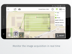
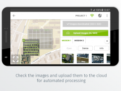
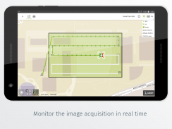
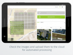
Pix4Dcapture turns your consumer drone into a professional mapping tool. A free companion of Pix4D software, Pix4Dcapture is the perfect tool to automatically capture image data for optimal 3D models and 2D maps. Post-flight, images are easily processed on cloud or desktop, producing georeferenced maps and models that are tailored to industry needs.
Currently, the app supports and was tested for:
• DJI
- Phantom 4 Pro
- Phantom 4
- Mavic Pro
- Inspire 1 (Pro)
- Phantom 3 Professional
- Phantom 3 Advanced
- Phantom 3 Standard
- Matrice 100
- Phantom 2 Vision(+)
• Parrot
- Bebop 2 with and without Skycontroller 2
Pix4Dcapture features include:
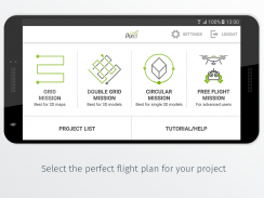
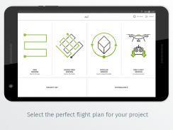
- <b>Grid Mission</b> for general mapping
- <b>Double Grid Mission</b> for better 3D model reconstruction
- <b>Circular Mission</b> for point-of-interest 3D model reconstruction
- <b>Free Flight Mission</b> for vertical object mapping with manual flight control
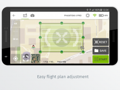
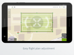
- Adjust:
- Flight speed
- Camera angle
- Front overlap
- Flight altitude
- Facing direction of the camera
- Distance-based camera trigger
Not all missions and settings are available for all drones.
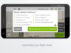
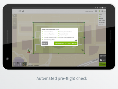
Ensure you have the latest firmware installed.
The app follows the flight plan and does not avoid obstacles automatically.
Pix4D accepts no liability for damage, injuries or legalities from the misuse of this app. Use only in safe environments. Discover our cloud and desktop 3D mapping and modeling solutions: https://cloud.pix4d.com/signup/</br></br></br></br></br></br></br></br></br></br></br></br></br></br></br></br></br></br></br></br></br></br></br></br></br></br></br></br></br></br></br></br>


